

The IELTS Reading test is one of the most important sections of the IELTS exam, especially for students planning to study abroad, apply for visas, or prove their English language ability for academic and professional purposes. This section checks how well you can understand long passages, identify key ideas, locate specific information, and answer different types of questions within a limited time.
In the IELTS Reading test, candidates usually get three passages and 40 questions to complete in 60 minutes. Since there is no extra time for transferring answers, students must manage their time carefully. Regular practice with IELTS reading passages can help improve speed, accuracy, vocabulary, and overall comprehension.
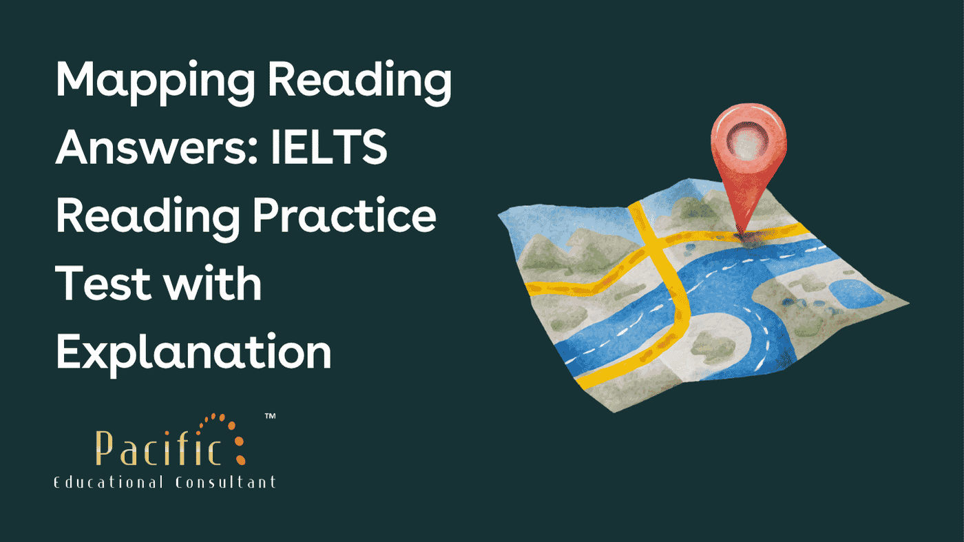
In this blog, we will practise an IELTS Reading passage titled “Mapping.” This passage explains the development of mapmaking from ancient times to the modern age. It discusses how mapmakers moved from basic observation to scientific measurement, printing, satellite systems, radar, sonar, and digital technology.
This practice test will help IELTS aspirants understand the passage clearly and learn how to answer multiple-choice questions, matching questions, and summary completion questions effectively.
|
Today, mapmakers are no longer restricted to what can be seen from the ground, a ship, a mountain, or even an aeroplane. Modern technology has completely changed the way maps are created. Radar can pass through thick jungle cover and has even helped create maps of mountain ranges on Venus. It works by sending microwave radio waves toward a surface and recording the shape and texture of what comes back. Similarly, sonar and radar are used together to map the ocean floor. These technologies have opened completely new possibilities for cartographers. According to Joel Morrison, former chief of geography at the U.S. Bureau of the Census, modern mapping has entered a completely different world.
The Library of Congress in Washington, D.C. contains one of the largest map collections in the world. It holds millions of map sheets and thousands of atlases, including beautiful historical maps from the golden age of Dutch cartography. In the reading room, researchers carefully examine old maps using magnifying glasses and cotton gloves to protect the delicate paper. In the same room, other users work on computers to study modern maps. Computers can store huge amounts of information about people, places, land, and surroundings. This data can be shown instantly on a screen and printed as a map with just a command.
One of the earliest major achievements in scientific mapmaking was the measurement of the Earth as a sphere. In the third century BC, the Greek astronomer Eratosthenes, who studied at the famous Alexandrian Library in Egypt, calculated the circumference of the Earth. His estimate was around 25,200 miles, which was remarkably close to the modern measurement of approximately 24,860 miles.
In the second century AD, Ptolemy, a famous astronomer and geographer, developed earlier ideas and introduced a more organised system of mapping using latitude and longitude. His grid system helped cartographers arrange locations more scientifically. The idea of spacing meridians and parallels also influenced the structure of modern time zones. Ptolemy also encouraged mapmakers to use scale so that distances on maps could represent actual distances more accurately. However, the geographical knowledge available at that time was limited, so many maps were still inaccurate.
The invention of the printing press in the 15th century brought a major change to mapmaking. Before this, maps were often produced by monks and were more religious than geographical in purpose. Printing made maps easier to copy and distribute. Around the same time, the compass improved navigation, and ocean travel increased the demand for practical charts. As explorers travelled farther, mapmakers had more information to record and a stronger need to represent the wider world.
During the 15th century, mapmakers slowly began replacing religious ideas with geographical knowledge gathered from travellers and merchants such as Marco Polo. The rediscovery of Ptolemy’s work also played an important role. His writings had been preserved by Arab scholars after the destruction of the Alexandrian Library, and later European scholars used them to revive scientific cartography.
In the 16th century, Gerhardus Mercator created one of the most influential map projections in history. His method allowed sailors to draw straight lines between two places and follow a constant compass direction. This made navigation much easier. However, the Mercator projection also distorted the size of landmasses. For example, Greenland appeared much larger than it actually is when compared with South America. Even with this problem, sailors continued to use Mercator’s map because it was highly practical for navigation.
Scientific mapping became more advanced through the work of the Cassini family in France. Jean-Dominique Cassini developed a method for calculating longitude by observing Jupiter’s moons in the late 17th century. This helped surveyors produce a more accurate map of France. Later, his descendants continued the work, and the famous Cassini map was published in 1793. It showed roads, rivers, canals, towns, abbeys, vineyards, lakes, and even windmills. France became the first country to be completely mapped using scientific methods.
Since then, mapmaking has developed rapidly. Modern surveyors commonly use navigation satellite systems while working in the field. One of the most important technologies is the satellite system created and operated by the U.S. Defense Department. Hand-held receivers using this technology are now available to hikers, sailors, travellers, and drivers. Simplified civilian versions are affordable and are used in electronic map displays in some cars. However advanced technology becomes, the basic purpose of cartography remains the same: to help people understand where “here” is in relation to “there.”
Below are the IELTS Reading practice questions based on the passage “Mapping.” These questions include multiple choice, matching information, and summary completion.
Choose the correct letter A, B, C, or D.
Write the correct letter in boxes 1–5 on your answer sheet.
A. combine different technologies to map unknown areas
B. still depend only on what they can see with their eyes
C. are mainly interested in jungle exploration
D. need help from experts in unrelated fields
A. study rare historical maps carefully
B. buy printed maps for personal use
C. learn sailing techniques from old charts
D. create maps only for government use
A. measuring the Earth’s circumference
B. encouraging the use of scale and grid systems
C. creating the first printed atlas
D. mapping the ocean floor
A. reduced interest in exploration
B. made maps more religious in nature
C. changed how maps were produced and shared
D. ended the use of scientific mapping
A. has become too complex for ordinary people
B. depends only on satellite systems
C. has remained basically the same
D. is no longer useful in modern life
| Question | Answer | Explanation |
| 1 | A | Paragraph A explains that radar, sonar, and satellite-based technology allow mapmakers to explore jungles, oceans, and even other planets. |
| 2 | A | Paragraph B describes researchers studying old maps carefully with magnifying glasses and cotton gloves. |
| 3 | B | Paragraph D explains that Ptolemy used latitude, longitude, and scale-based mapping. |
| 4 | C | Paragraph E states that the printing press changed map production by making maps easier to reproduce and distribute. |
| 5 | C | Paragraph I says that cartography still aims to show where “here” is in relation to “there.” |
Multiple-choice questions in IELTS Reading require you to choose the best answer from the given options. These questions test your ability to understand the main idea, identify details, and avoid misleading options.
Read the question before checking the options.
Underline keywords in the question.
Find the related paragraph in the passage.
Compare all options with the passage.
Avoid choosing an answer only because it contains the same word from the passage.
Select the option that matches the meaning, not just the wording.
Match each achievement with the correct mapmaker.
Write the correct letter A, B, C, or D.
A. Ptolemy
B. Cassini family
C. Eratosthenes
D. Mercator
| Question | Answer | Explanation |
| 6 | A | Paragraph D explains that Ptolemy’s latitude and longitude system influenced the spacing of meridians, which relates to modern time zones. |
| 7 | B | Paragraph H states that the Cassini map showed roads, rivers, canals, towns, abbeys, vineyards, lakes, and windmills. |
| 8 | C | Paragraph C explains that Eratosthenes calculated the Earth’s circumference with impressive accuracy. |
Matching information questions require you to connect specific achievements, ideas, or descriptions with the correct person, paragraph, or category.
Read all the names or options first.
Underline keywords in each statement.
Look for names, dates, and achievements in the passage.
Do not match only by similar words; match by meaning.
Cross-check every answer before finalising.
Complete the summary below.
Choose NO MORE THAN TWO WORDS from the passage for each answer.
Maps from history help us understand how people viewed the world in different periods. The earliest major development in scientific mapmaking took place in 9. __________ in the third century BC. Later, scientific progress slowed for many centuries, and during this time 10. __________ were mainly responsible for making maps. Fortunately, the writings of 11. __________ were preserved, and interest in scientific cartography returned when scholars began using the records of travellers. Today, 12. __________ are very important in the mapmaking process. This technology is not only used for distant or difficult places, but simpler versions are also used in 13. __________.
| Question | Answer | Explanation |
| 9 | Egypt | Paragraph C mentions that Eratosthenes studied at the Alexandrian Library in Egypt. |
| 10 | monks | Paragraph E explains that monks produced maps before the printing press changed the process. |
| 11 | Ptolemy | Paragraph F states that Ptolemy’s preserved work helped revive scientific mapmaking. |
| 12 | navigation satellites | Paragraph I says that surveyors now commonly use navigation satellite systems. |
| 13 | some cars | Paragraph I mentions that simplified versions of this technology are used in some cars’ electronic map displays. |
Summary completion questions ask you to fill blanks using words from the passage. These questions test your ability to understand the overall meaning and locate specific information.
Read the summary first to understand the topic.
Identify keywords around each blank.
Find the related paragraph in the passage.
Use only words from the passage.
Check the word limit carefully.
Make sure your answer fits grammatically.
Review spelling before finalising.
The “Mapping” reading passage is useful for IELTS students because it contains historical names, dates, inventions, and technological developments. Such passages are common in the IELTS Academic Reading test, especially in topics related to science, history, geography, and technology.
To perform well in similar IELTS Reading passages, students should practise reading long academic texts regularly. Focus on understanding the main idea of each paragraph instead of translating every word. Learn to identify synonyms because IELTS questions rarely use the exact same wording as the passage.
For example, the passage may say “navigation satellite systems,” while the question may refer to “modern technology used in mapping.” Understanding this connection is essential for scoring well.
The Mapping Reading Answers practice test helps IELTS aspirants understand how mapmaking developed from ancient scientific measurement to modern satellite technology. It also gives students practice with common IELTS Reading question types such as multiple choice, matching information, and summary completion.
If you are preparing for IELTS, regular reading practice is very important. Try to solve one passage daily, check your mistakes, and understand why each answer is correct. With consistent practice, better time management, and strong reading strategies, you can improve your IELTS Reading score effectively.
Join Pacific Educational Consultant’s IELTS Coaching in Kota and practise with expert trainers, regular mock tests, and one-to-one guidance.
📞 Call Now: 9983256783

dMAT Score & Result Explained: How G.A.S.T. Calculates It
The Problems and Benefits Created by the Spread of the Water Hyacinth in Kenya — IELTS Reading Answers
Rethinking the Past IELTS Reading Answers
The problems of getting around the city of Dar es Salaam IELTS Reading Answers

Saving the Saiga IELTS Reading Answers

UK Student Visa Fees 2026: Complete Cost Breakdown in Indian Rupees (Updated July 2026)
Paper-Based IELTS Ends in India After 22 Aug 2026 – Last Dates & New Option

Artificial Intelligence IELTS Reading Answers
Mapungubwe IELTS Reading Answers

Do Animals Dream IELTS Reading Answers
Welcome to Pacific Educational Consultant and Classes, your trusted partner in unlocking a world of educational opportunities and personal growth.

© 2026 Pacific Educational Consultant. All rights reserved
 Canada
 United States
 United Kingdom
 Australia
 Germany
 France
 Netherlands
 New Zealand
 PTE
PTE
 IELTS General Training
 TOEFL iBT
 Duolingo English Test
 SAT
SAT
 GRE
GRE
 GMAT
GMAT
 SPOKEN ENGLISH
 SOP Writing
 Air Tickets
 Accommodation
 Career Counselling
 Visa Assistance